

In 1940 the NYC Dept of Taxation teamed up with 100’s of local photographers to photograph every single house, commercial property, and lot in the 5 Boroughs of New York City. This was done to inventory the NYC Tax Lots for the IRS. In 2018, he photos were digitized and released to the public via The Dept of Records. I’ll show you how you can search and see what any NYC property looked like in 1940
See your house, workplace, playground, neighborhood cafe right before WW2. Its fascinating to see how contrasting the times were and how different the city looked. If you have questions or get stuck please email me at
[email protected]
Step 1 : Obtain Your Block and Lot #
You will need your Block and Lot Number in order to Query the Database.
To get this easily visit the City GIS by clicking this link .
On the right hand side of the GIS Website click Advanced Search. Then enter your Address #, Street, and Borough.


Now you should see your house/building show up on the map and you will see some information on the right. Write down the Block and Lot #.
In this example, I’m searching 90-02 Atlantic Ave in Queens, which was a building i worked in that used to be a factory, so hopefully the pictures shouldn’t show much change.

Step 2 : Look Up via DOR Records
Now we go to the Dept of Records Website at this link DOR Website (takes a few seconds to load) and then choose the collection you want to search on the Left side menu. Select your borough and time. For example i picked Queens 1940s Tax highlighted in the screenshot below. Note : If the DOR website isn’t loading or has crashed please leave a comment and i can reach out to the city.

Then in the top right Search Bar on the DOR Page, enter the Block and Lot in exactly the following format (without quotes or dashes) as shown below:
“block=Block# lot=Lot# address number“
For Example, 90-02 Atlantic Ave at Block 9027 and Lot 102 would be entered :
block=9027 lot=102 9002

Now enjoy the photos! You can compare with Google Maps street view to show two snapshots of history in New York City. Here’s what i found :
In 1948, 90-02 Atlantic Ave was the Lalance Crosjean Factory which made pots and pans and started the town of Woodhaven, Atlantic Ave also had a steam railroad which is now the LIRR under the same tracks.
In 2020, 90-02 Atlantic Ave is now a VA Clinic, Queens Buffet, and a Piano Factory and Showroom which still keeps some of the heritage of the original factory. Sadly a portion of the building was demolished to make a parking lot (that’s almost never full).

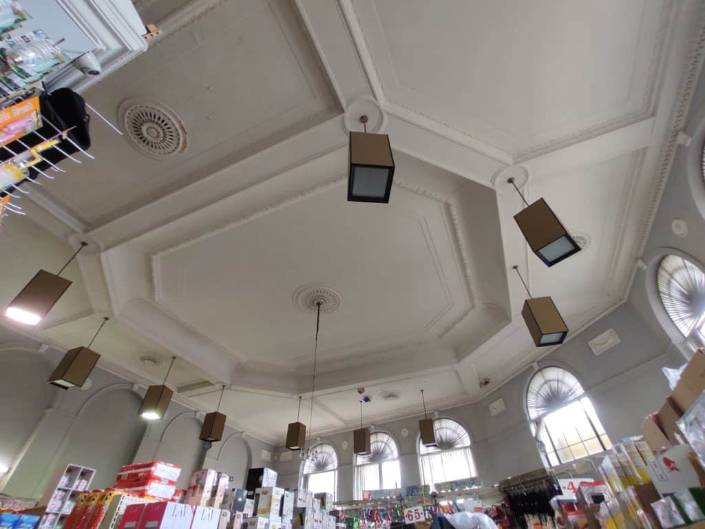
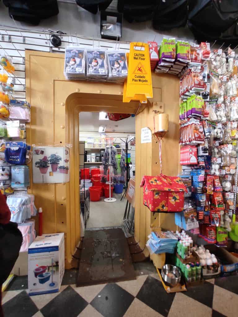
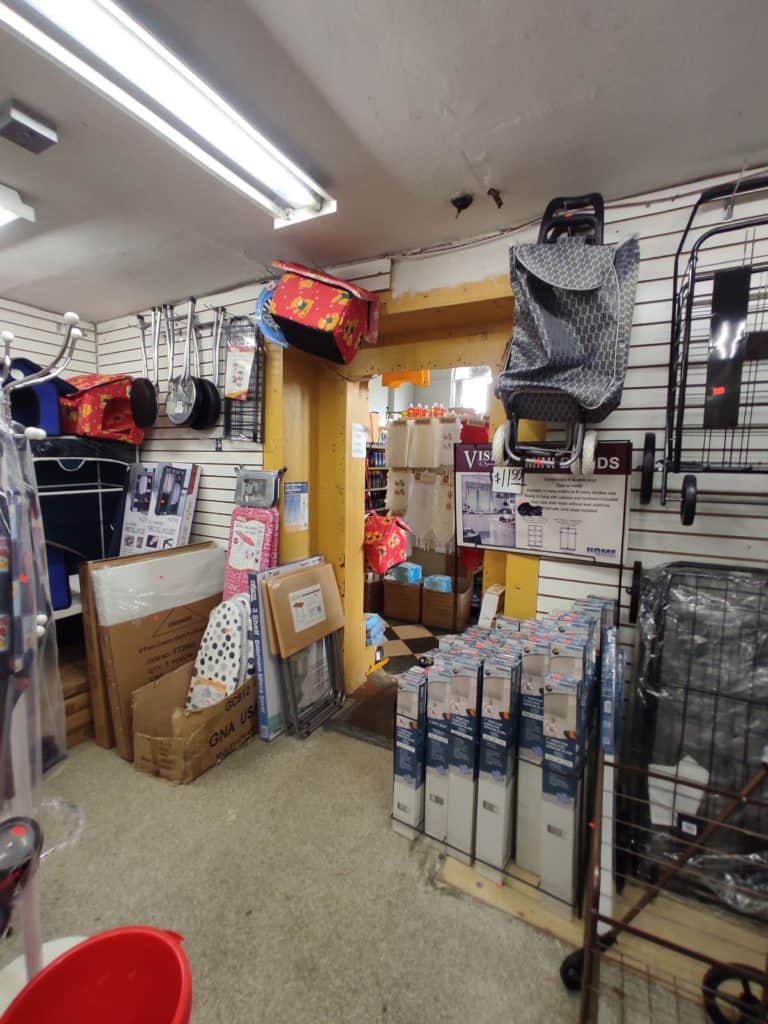
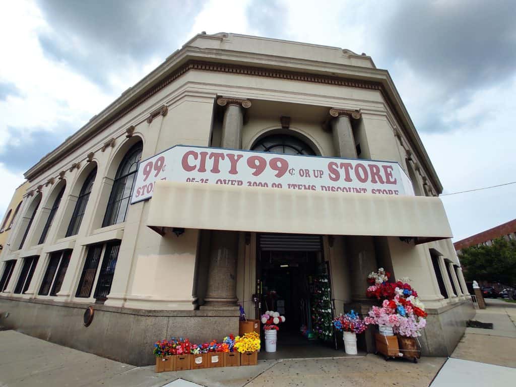
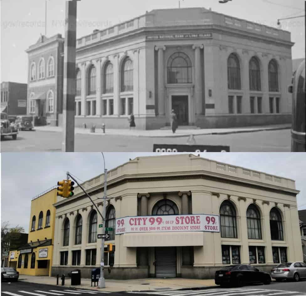
Also, at the start of this article, I posted a photo of the Ozone Park brand of the National Bank of Long Island which is now City 99 Cent Store , here are some photos I took of the inside of this place. Its amusing to see what it has become.

Outside the Vault note the hinges Inside the Vault


Bonus :
Now that you’ve Seen What Any NYC Property looked like in the 1940, You can also see how these properties looked in the 1980’s, especially if your building was built after 1980. Simply search again but select the Borough 1980’s collection (step 2).
If you enjoyed this article please FB share, especially to younger folks who’ve moved to the city and just bought property, in hopes they preserve it by seeing how it looked and get them into local history. Also share to folks who may have moved away but want to see their home as they remember it 🙂
For more featured articles like this on this website click here
If you have questions/comments or issues following the steps , please email me at [email protected]